| Home | |
| Who We Are | |
| Historic
Watershed Maps |
|
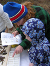
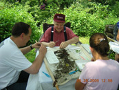
| Activities |
|
| you are here: home | |||||||||||||||||||||||||||||||||||
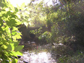
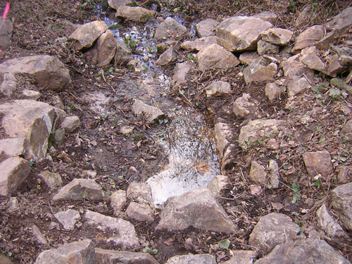
Welcome to the Friends of Burke's Spring Branch website. Burke's Spring Branch is a Pimmit Run tributary draining approximately 180 acres located in between Falls Church and McLean in Fairfax County, Virginia. You can learn more about the Burke's Spring Branch Watershed by exploring the watershed map on this site. It depicts the historic headwaters of the Branch, Burke's Spring (pictured below), the path of both forks of the stream, current patterns of vegetation and development, monitoring sites, and other areas of ecological and historical interest and concern, including the sites of two current development projects in the watershed, the 5-acre CRI (Chesterbrook Residences, Inc.) project, and the 21-acre Camberley Homes/Stockwell Manor development. If you'd like to see how the watershed looked in previous years, take a look at the historic watershed maps. And if you have anything to add from your own explorations, please contact us. As you can see, this site is under construction; information and suggestions are always welcome.
|
|||||||||||||||||||||||||||||||||||


| Home | Watershed Map & Areas of Interest/Concern |
Historic Watershed Maps | Activities | Contact/Join Us |
All items copyright © 2003-2005
Friends of Burke's Spring Branch unless another source is noted.
Copyright for items with identified authorship remains with the
author(s); historical and other documents reproduced here are, to
the best knowledge of the webmaster, in the public domain. Items
under Friends of Burke's Spring Branch copyright may be reproduced
for nonprofit research or educational use as long as this copyright
notice is included. Please direct comments and questions to Cathy
Saunders. |